- severe weather likely today
TODAYS WEATHER WILL BE SEVERE THROUGH THE DAY INTO TONIGHT. SEVERAL LINES OF STORMS WILL MOVE THROUGH THE AREA. ALL STORMS HAVE THE POTENTIAL TO PRODUCE SEVERE WEATHER.
Tornado sirens going off right now in Paducah - we are under a tornado warning. A tornado touched down just south and west of my apartment.
WALL CLOUD
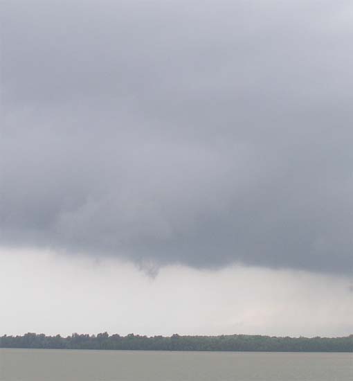
Funnel Cloud in thge middle of wall cloud rotating...
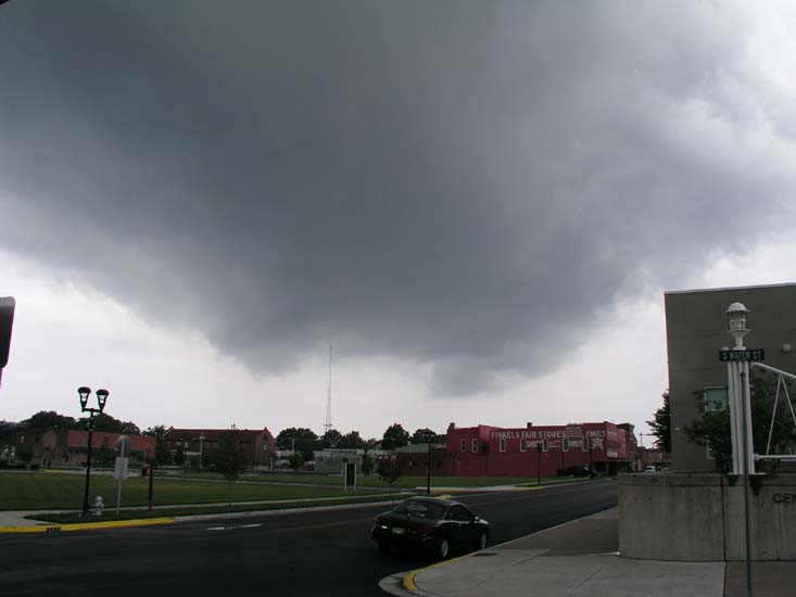
Second Lowering - LARGE wall cloud
Lowering - Wall Cloud over Paducah
RADAR SHOWING HOOK
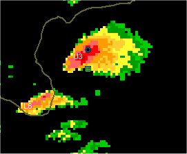
DAMAGE IN PADUCAH FROM TORNADO - JUST NEAR THE AIRPORT.
MARENGO, INDIANA, REPORTERS SAY THE TOWN LOOKS
LIKE A WAR ZONE. MAJOR DAMAGE.
Long day very tired going to bed will update in the morning.
180 TORNADOES IN THE PAST 48 HOURS! These are preliminary numbers, but it has been a bad outbreak
Monday, May 31st
Hi everyone. What a weekend. I knew it would be bad, but geeesh the damage reports in some areas are just incredible. Fifty-percent of one town in Indiana was wiped out. Almost every county in the Paducah Warning area reported some type of damage. Portions of Massac County had trees down. Marvin Korte's Carport was blown off along with part of his roof. Other reports of damage throughout McCracken County, where the tornado hit. Numerous reports of large hail.
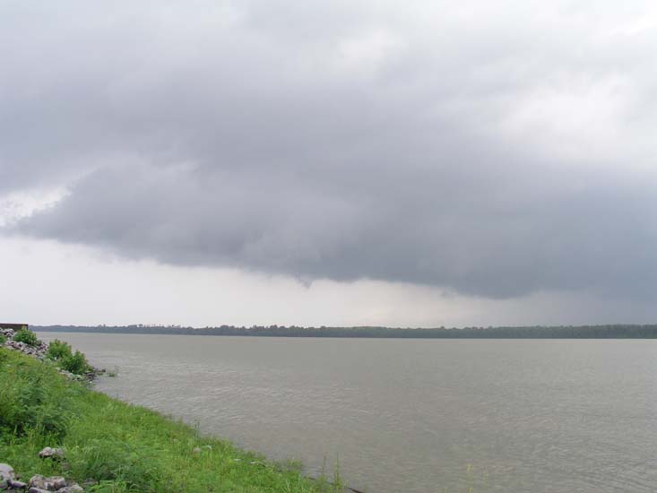
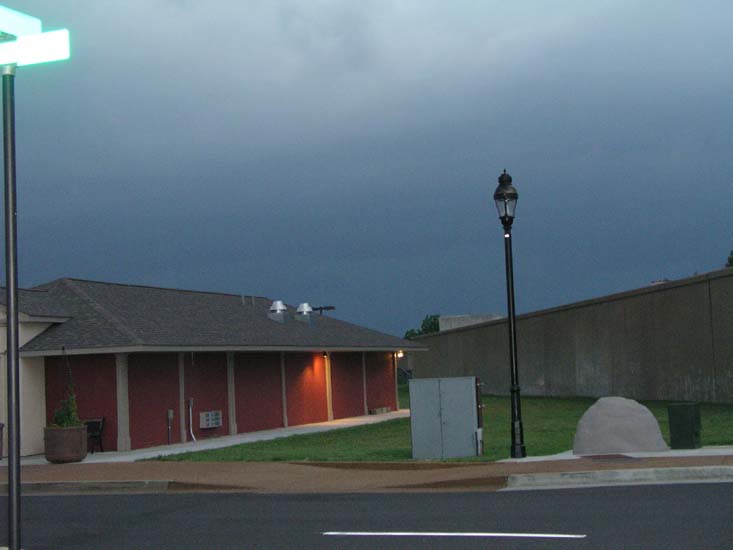
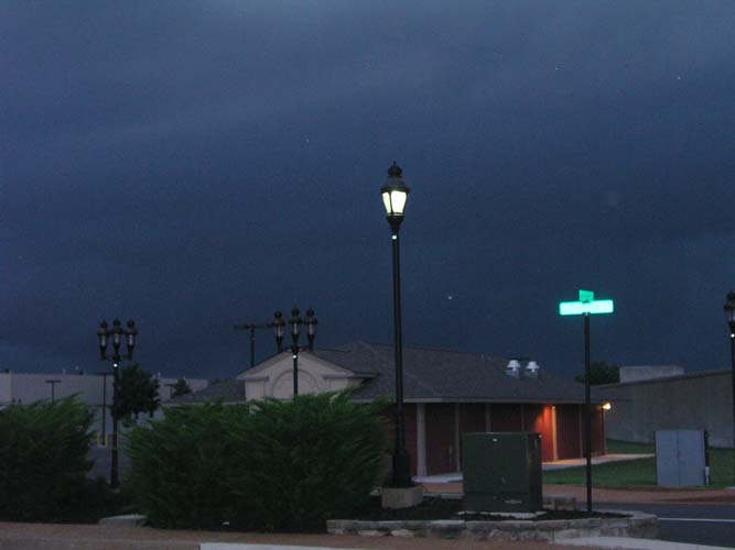
The sky turned GREEN from where I was standing here at the river and you could see the rotation in the storm as it approached. Here is just how BLACK it got here, follow these pictures:
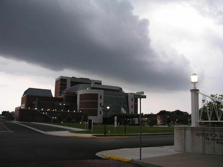
Picture One looking over the Four Rivers Center....very
low cloud being pulled into the storm to the west...
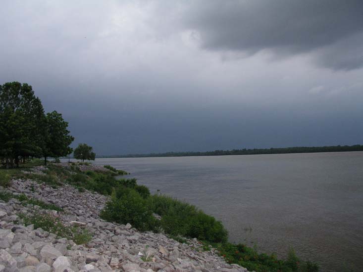
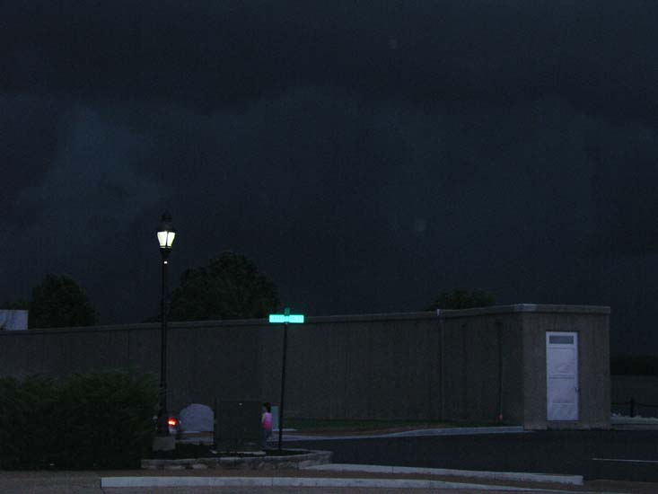
Looking into Massac County...at one point the sky was GREEN
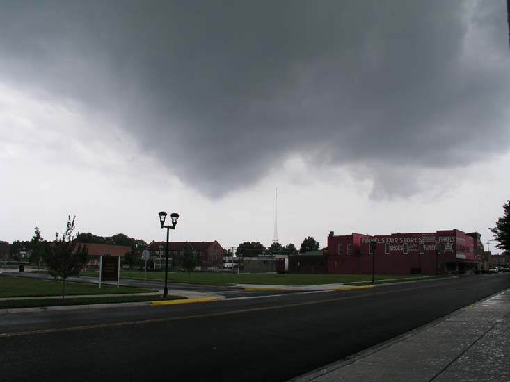
Storm Approaches Paducah...
Storm almost on us....winds are starting to
gust to near 50 mph...
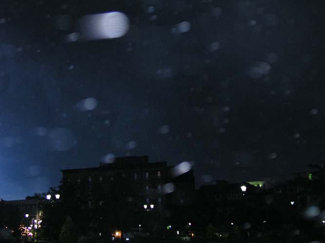
Storm is upon us....very high winds at this point
ALMOST LIKE NIGHT - BLACK SKY ROLLS OVER THE CITY VERY HIGH WINDS
Storm moves on top of us, roll cloud in front
of the storm winds gusted over
sixty miles per hour.
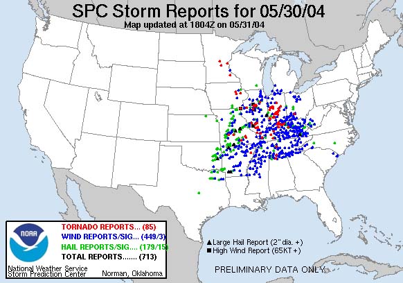
ALL OF THE DOTS INDICATE DAMAGE FROM
TORNADOES AND HAIL!!
I got some bears for the Game Room, to go
with the Indian and the Horse! :)

Four Bears and a Wagon Wheel

One of the bears

Me with the bears :)
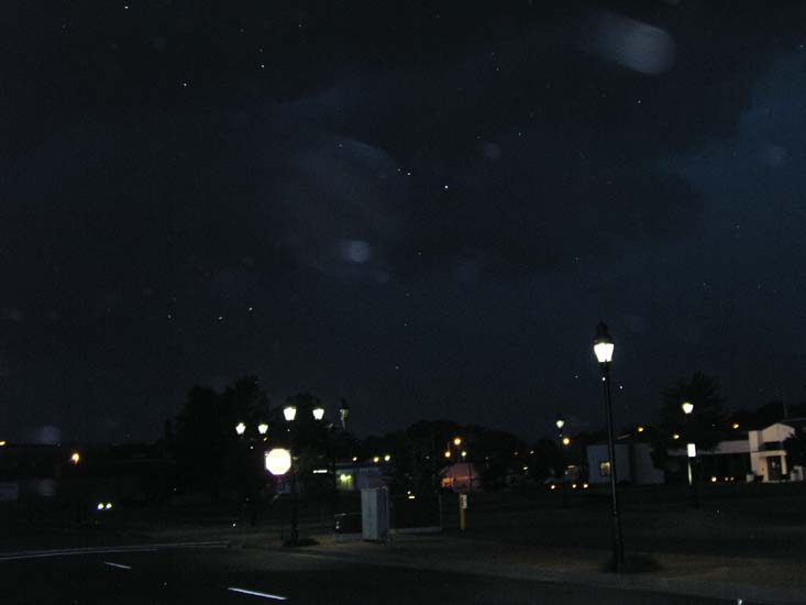
OH AND THE WEATHER TODAY :) THE DAY AFTER.
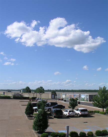
BEAUTIFUL WEATHER
Wednesday - June 2nd -
Hi everyone - I am having computer problems so there might not be updates for a few days - trying to get Comcast Cable in here to fix me up - So ANYWAY, mother has a mover, I will post some pics eventually.
NEW PAGE CLICK HERE
------------------------------------------------------
RETURN TO HOME PAGE
RETURN TO AUGUST 1-17th
RETURN TO AUGUST 18th-31st
RETURN TO SEPTEMBER 1-9th
RETURN TO
SEPTEMBER 10-30th
RETURN TO OCTOBER 1-15th
RETURN TO OCTOBER 15-31st
RETURN TO NOVEMBER 1-15th
RETURN
TO NOVEMBER 16th
RETURN TO
NOVEMBER 17-30th
RETURN TO DECEMBER 1st-15th
RETURN TO DECEMBER 16th-22nd
RETURN TO DECEMBER 23rd-31st
RETURN TO
JANUARY 1st-8th
RETURN TO JANUARY 9th-26th
RETURN TO JANUARY 26th-31st
RETURN TO
FEBRUARY
RETURN TO MARCH 1st-9th
Return TO March 10th-27th
Return TO March 28th-30th
RETURN TO APRIL 1-11th
Return to April 12th-18th
RETURN TO APRIL 18th-27th
RETURN TO APRIL
28th-30th
RETURN TO MAY 1st-5th
RETURN TO MAY 6th
CLICK HERE TO MAY 7th-16th
RETURN TO MAY 17th-29th
------------------------------------------------------
Email beaudodson @ usawx.com (remove spaces)