![]()
![]()
![]()
![]()
![]()
![]()
![]()
National Satellite Imagery
| GOES (West Coast View) | GOES (East Coast View) | |
|
Goes- 12 Goes - 10 |
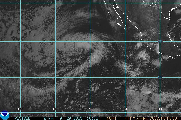
Visible
Alternative Infrared Alternative Water Vapor GOES 16 Slider Real Time US Composite Satellite |
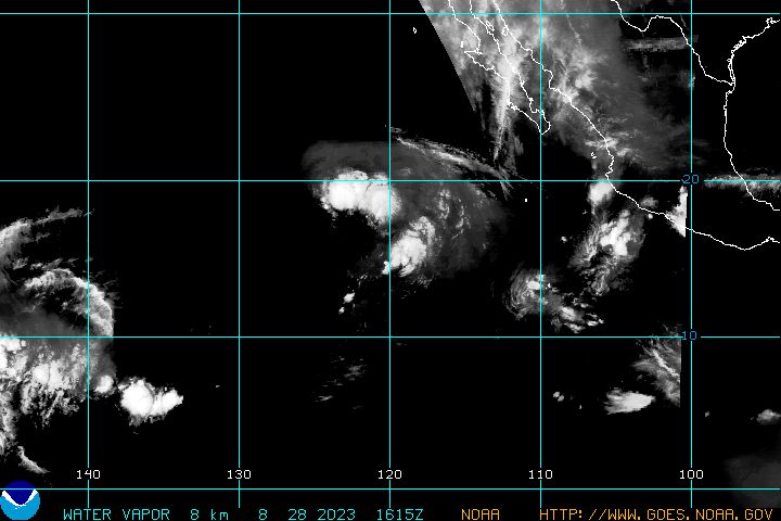
Visible Infrared (Color) Infrared (B/W) Shortwave IR Water Vapor Intergrated Water Transport Large WeatherTap Satellite Imagery RAMSDIS Rapid Update
Moisture Plume Satellite
West
Weather Science.Net
|
| Pacific Hurricane Region | Tropical Weather Region | |
|
Tropical Satellite Views |
Visible Infrared Water Vapor
|
Tropical
Sector Severe Storm Sector |
| N/a |
Goes Color Enhanced UM Large Images Earl Satellite Images |
|
WeatherTap 1 KM Regional Visible Images
WeatherTap Large Regional
Satellite Images