January 5, 2007
Rain rain go away...come back another day! Two wet days in a
row. I would rather be seeing two WHITE days
in a row! Keep waiting for winter. I am beginning to think that
winter is not coming to Paducah...at least not this year.
Perhaps a bit longer. :) Plenty of winter left for a surprise or
two.
Well 2007 is definitely here! I would say this will be the best year ever...but I don't want to jinx it. PLUS the last few years have been pretty incredible! Just keeping moving forward and everything else will take care of itself.
|
______________________________________________________________ National Severe Weather Workshop A national forum for academia, emergency management, media, and NOAA to exchange information and techniques for public safety during severe weather.
|
 March
1-3, 2007
March
1-3, 2007| The National Severe Weather Workshop will
feature the nation's premiere severe weather experts discussing the
latest research and forecasting techniques. Designed for emergency managers, storm spotters, media, educators, meteorologists, and other weather enthusiasts, the workshop will offer a unique opportunity to expand your understanding of the role of the Storm Prediction Center, National Weather Service forecast offices, Emergency Managers, broadcast meteorologists, educators, and others involved in severe weather events. Experience "The Scenario" where Emergency Managers, Media, and NWS personnel switch places to learn how the others perform during severe weather. Tour the new National Weather Center, home of meteorological entities from the University of Oklahoma, the National Weather Service, the Storm Prediction Center, the National Severe Storms Laboratory, the Warning Decision Training Branch, the Radar Operations Center, and the Oklahoma Climatological Survey. Sponsored by:
|
January 6, 2007
Looks like our Winter Park was hit by an avalanche. This is the road that Joey and I took to go snowmobiling.
Seven people had been rescued and one was taken to a hospital, said Stacey Stegman, a spokeswoman for the Colorado Department of Transportation.
"Our crews said it was the largest they have ever seen. It took three paths," Stegman said of the massive slide on U.S. 40 near 11,307-foot Berthoud Pass, about 50 miles west of Denver on the way to Winter Park Resort.
Details to be worked out...
HIGH IMPACT WEATHER EVENT LIKELY STARTING THIS WEEKEND
HEAVY RAIN? SNOW AND ICE FOR SOME.
An extended frozen precipitation event is possible in the mid to long term across portions of the Missouri and Ohio Valleys. Still a lot of uncertainty but I believe there could be some significant icing and snow for some areas. Looks like from next weekend into the following week would be the threat period. Appears the main ice and snow threat will remain north of the Paducah Area. Something to watch though. Stay tuned.
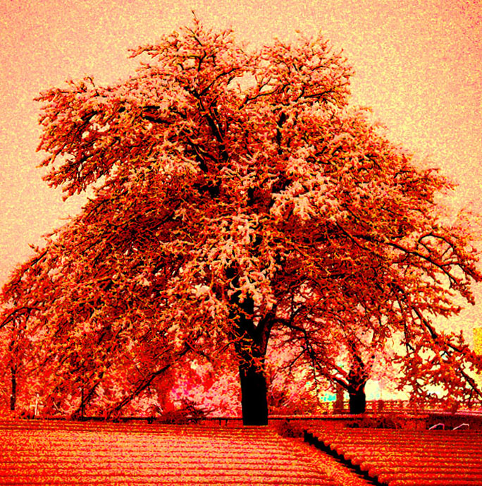
Some snow art :) that I made

Okay...I am supposed to pick a group of photos for this class I am taking on-line. They have to be photos that were taken over the past few years and that I like.
So I picked these...

TORONTO Spring of 2003

My friend Doug in New York City :)

My friend in the backyard...2005

McCracken County Fair - 2005

China :) 2006
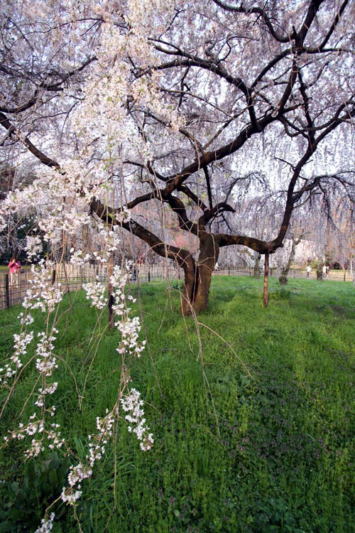
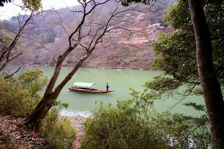
Kyoto, Japan - 2006

Kentucky Lake Bumblebee - 2005
Japan - 2006

Cheetah in the flowers - 2002 Ontario, Canada - Cottage