BLIZZARD?
IF YOU GET A RED X THEN THAT MEANS I HAVE TOO MANY PHOTOS
ON THE PAGE - HIT REFRESH AND YOU WILL THEN GET THE REST
OF THE IMAGES :)
BOULDER...
437 AM MST WED DEC 27 2006

...WINTER STORM WATCH REMAINS IN EFFECT FROM THURSDAY AFTERNOON
THROUGH FRIDAY AFTERNOON...

A WINTER STORM WATCH REMAINS IN EFFECT FROM THURSDAY AFTERNOON
THROUGH FRIDAY AFTERNOON.
URGENT - WINTER WEATHER MESSAGE
NATIONAL WEATHER SERVICE DENVER CO
437 AM MST WED DEC 27 2006

...POTENTIAL HEAVY SNOWFALL FOR NORTH EAST AND NORTH CENTRAL
COLORADO THURSDAY AFTERNOON THROUGH FRIDAY NIGHT...

.ANOTHER WINTER STORM IS EXPECTED TO MOVE INTO COLORADO ON
THURSDAY. IT HAS THE POTENTIAL OF PRODUCING HEAVY SNOWFALL OVER
NORTHEASTERN AND NORTH CENTRAL COLORADO. THIS INCLUDES THE DENVER
METRO AREA AND ALL THE URBAN CORRIDOR.

THE TRACK OF THE STORM IS STILL IN QUESTION WITH SOME SCENARIOS
ALLOWING FOR WIDESPREAD HEAVY SNOWFALL IN MOST AREAS. THEREFORE
A WINTER STORM WATCH REMAINS IN EFFECT.

THIS STORM SHOULD HAVE A COLDER AIRMASS ASSOCIATED WITH IT COMPARED
TO THE ONE LAST WEDNESDAY AND THURSDAY. IN ADDITION...STRONG WINDS
ARE POSSIBLE DURING THE COURSE OF THE STORM WHICH COULD PRODUCE
WIDESPREAD BLOWING AND DRIFTING SNOW. AGAIN...IT IS TOO EARLY TO
PREDICT THE EXACT TRACK AND INTENSITY OF THIS STORM...BUT BLIZZARD
CONDITIONS COULD OCCUR AS WELL.

HEAVY SNOWFALL IS POSSIBLE ACROSS ALL OF NORTHEAST COLORADO
THURSDAY AFTERNOON THROUGH FRIDAY. THIS INCLUDES THE DENVER METRO AREA
AND ALL THE URBAN CORRIDOR. ACCUMULATIONS...IN EXCESS OF 12 INCHES
MAY OCCUR...WITH THE HEAVIEST AMOUNTS NEAR THE FOOTHILLS AND
PALMER DIVIDE. NORTH TO NORTHEAST WINDS MAY INCREASE TO SPEEDS OF
15 TO 30 MPH. GUSTS AS HIGH AS 45 MPH ARE POSSIBLE WHICH COULD
CAUSE BLIZZARD CONDITIONS...ESPECIALLY ON THE PLAINS.

REMEMBER...A WINTER STORM WATCH MEANS THERE IS A POTENTIAL FOR A
HAZARDOUS WINTER WEATHER EVENT IN AND CLOSE TO THE WATCH AREA.
SIGNIFICANT SNOW ACCUMULATIONS MAY OCCUR THAT COULD IMPACT
TRAVEL. STAY TUNED TO THE NATIONAL WEATHER SERVICE OR YOUR LOCAL
NEWS MEDIA FOR THE LATEST UPDATES AND POSSIBLE WARNING CONCERNING
THIS POTENTIAL WINTER STORM.

$$


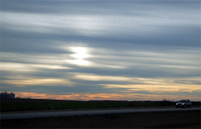
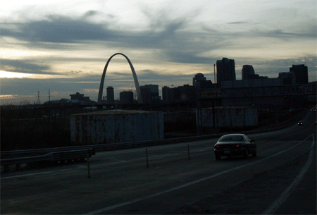
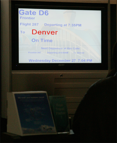
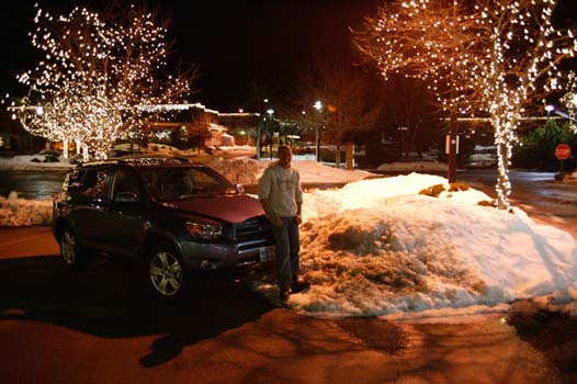
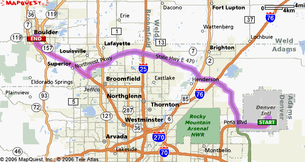
1 a.m.

Made it to Boulder.  Flew out of St Louis and landed in Denver at 9 p.m.  Took awhile to get everything together.  Luggage :) and the car and so on.  Fun Fun!  Then the GPS Unit wouldn't work in Colorado.  :)  I forgot that I never added this state.  OOOPS  Lesson learned (write that one down).  SOOOOO that meant we had to "figure out" how to get from the Denver International Airport to Boulder.  I don't think I ever realized just how much I depend on "Betsy" the GPS Unit.  :)  Never-the-less we MADE IT! 

Beautiful area.  You can see the mountains even at night.  You can also see a lot of clouds in the sky.  Looks like snow will start tomorrow and continue through Friday.  I believe we made a good choice on picking the Denver area.  We should get a lot of snow and blizzard conditions.  Hoping for the best.


All packed and ready to go


Or perhaps not.  The was deader than a nail.
Nothing...nothing at all.  We tried to jump it.  That
didn't work either.  We gave up and drove the
other vehicle. 


Lot of Cirrus Clouds in the Western Sky


Made it to St Louis


Something I always like to see


AND GUESS WHAT THEY HAD ON THE AIRPLACE!  FRONTIER AIRLINES
HAS TELEVISION!  The Weather Channel was on!  LIVE FROM DENVER :)


Landing in Denver


And we made it to the hotel!  YAY


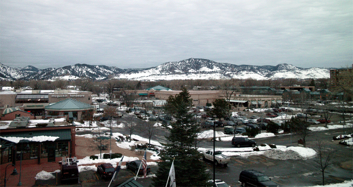
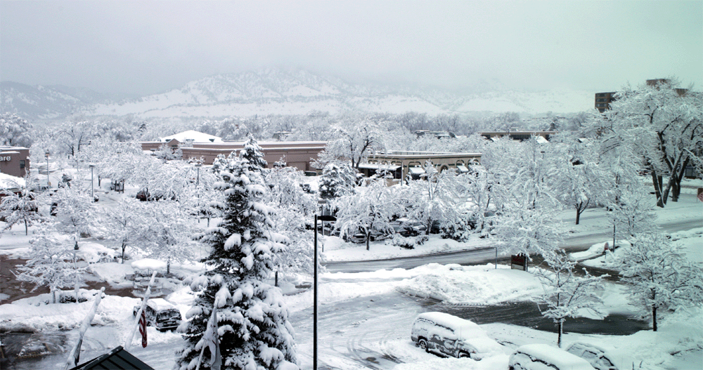
8 a.m. Boulder

Morning all:)  Clouds are starting to thicken and lower .  No snow yet though.  Looks like a foot or more by Friday Afternoon.  
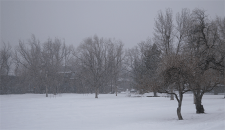
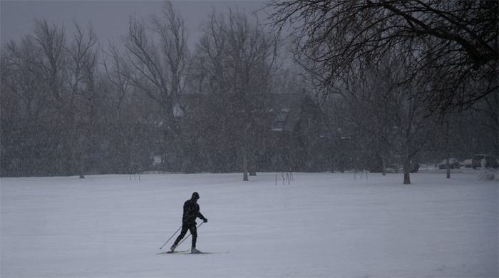
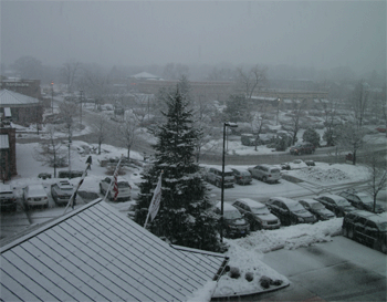
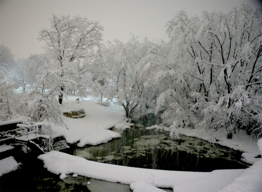
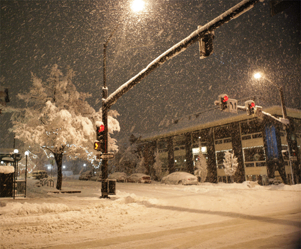
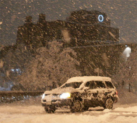
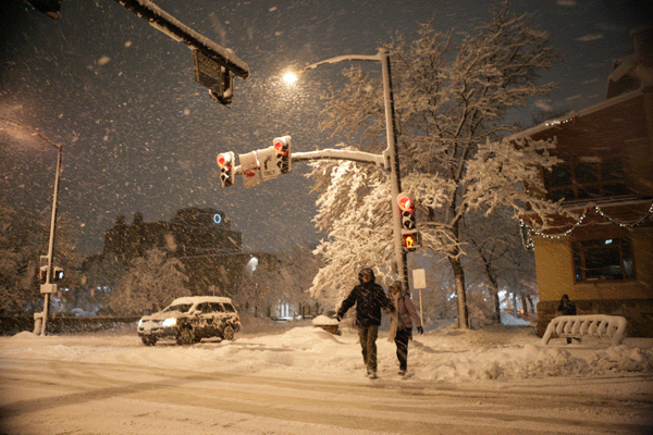
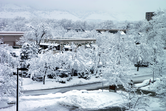
More snow is expected after that.  Blizzard conditions
are likely by Friday as well.  Looks like an exciting few days ahead.

Here is the view from my window


LATEST FORECAST FOR BOULDER

Today: Periods of snow with areas of blowing snow, mainly after 2pm. High near 37. Northeast wind between 5 and 11 mph. Chance of precipitation is 80%. Total daytime snow accumulation of 3 to 5 inches possible.

Tonight: Periods of snow with areas of blowing snow. The snow could be heavy at times. Low around 17. North northeast wind between 11 and 17 mph, with gusts as high as 23 mph. Chance of precipitation is 100%. New snow accumulation of 6 to 10 inches possible.

Friday: Periods of snow. High near 25. North wind between 10 and 13 mph becoming light. Chance of precipitation is 80%. New snow accumulation of 3 to 5 inches possible.

Friday Night: Periods of snow with areas of blowing snow. The snow could be heavy at times. Low around 13. Calm wind becoming west northwest between 6 and 9 mph. Chance of precipitation is 80%.

Saturday: Periods of snow with areas of blowing snow. The snow could be heavy at times. High near 22. Calm wind becoming northwest between 12 and 15 mph. Chance of precipitation is 80%.

Saturday Night: Periods of snow with areas of blowing snow, mainly before 8pm. The snow could be heavy at times. Low around 10. Wind chill values between -1 and -7. Blustery. Chance of precipitation is 80%.


9 a.m. Warning

Winter Storm Warning

URGENT - WINTER WEATHER MESSAGE
NATIONAL WEATHER SERVICE DENVER CO
519 AM MST THU DEC 28 2006

...A STRONG WINTER STORM IS EXPECTED TO PLAGUE NORTHEAST AND NORTH
CENTRAL COLORADO TODAY CONTINUING WELL INTO THE WEEKEND...

.ANOTHER MAJOR WINTER STORM WILL MOVE FROM ARIZONA INTO NORTHERN
NEW MEXICO TODAY...THEN SLOW DOWN AND STRENGTHEN ON FRIDAY AND
SATURDAY AS IT MOVES INTO KANSAS. SNOW WILL DEVELOP BY THIS AFTERNOON
IN AND NEAR THE MOUNTAINS...AND SPREAD ONTO THE PLAINS BY EVENING.
THE SNOW WILL BE HEAVY AT TIMES...ESPECIALLY IN THE FRONT RANGE
FOOTHILLS DURING THE LATE AFTERNOON AND EVENING WHEN SNOWFALL
RATES UP TO 2 INCHES PER HOUR CAN BE EXPECTED. A WINTER STORM
WARNING IS IN EFFECT FOR THIS FIRST PART OF THE STORM LASTING
THROUGH TONIGHT.

THIS STORM WILL LIKELY BE A PROLONGED EVENT LASTING THROUGH MUCH
OF THE WEEKEND WITH A POTENTIAL BREAK IN THE SIGNIFICANT SNOWFALL
FRIDAY. BY FRIDAY NIGHT CONTINUING INTO SUNDAY MORNING THE
POTENTIAL FOR HEAVY SNOWFALL RETURNS ALONG WITH STRONG NORTH
WINDS. THIS COULD PRODUCE BLIZZARD CONDITIONS OVER THE
NORTHEASTERN PLAINS. DUE TO UNCERTAINTIES ABOUT THE EVENTUAL TRACK
OF THE STORM AND WHERE THE HEAVIEST SNOW ACCUMULATIONS WILL
OCCUR...A WINTER STORM WATCH IS IN EFFECT FOR NORTHEAST COLORADO
AND THE MOUNTAINS AND FOOTHILLS OF NORTH CENTRAL COLORADO

COZ038>041-282030-

BOULDER
519 AM MST THU DEC 28 2006

...WINTER STORM WARNING REMAINS IN EFFECT FROM NOON TODAY TO 6 AM
MST FRIDAY...
...WINTER STORM WATCH IN EFFECT FROM FRIDAY MORNING THROUGH LATE
SATURDAY NIGHT...

SNOW WILL DEVELOP LATE THIS AFTERNOON AND WILL BE HEAVY AT TIMES
TONIGHT WITH NEW SNOW ACCUMULATIONS OF 8 TO 18 INCHES POSSIBLE
BY LATE TONIGHT. NORTH WINDS AT 15 TO 25 MPH WILL CREATE AREAS OF
BLOWING AND DRIFTING SNOW OVERNIGHT.

THERE IS A POTENTIAL FOR ADDITIONAL HEAVY SNOWFALL AGAIN...ALONG
WITH STRONG WINDS...ESPECIALLY FROM FRIDAY NIGHT INTO EARLY SUNDAY
MORNING. SNOWFALL AMOUNTS DURING THAT PERIOD COULD TOTAL 10 TO 20
INCHES. BLIZZARD CONDITIONS ARE POSSIBLE.

Staying in Boulder...might drive to Nederland and Evergreen as well - 11 
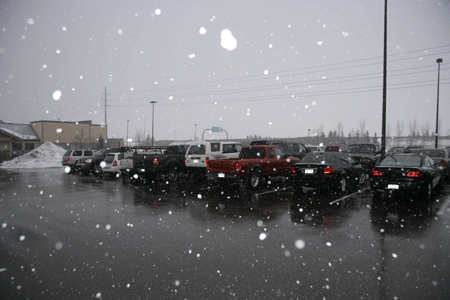
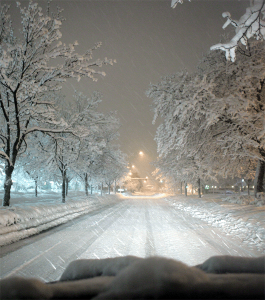
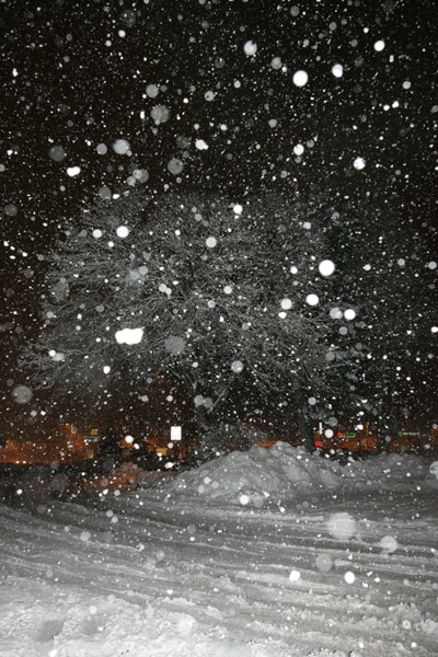
a.m. it is started to rain and drizzle here in the city.

2 p.m. First SNOWFLAKES are starting to fly here in Boulder  :)


FIRST SNOWFLAKES FALLING!  Best Buy Parking Lot :)


Cross Country Skier at one of the parks here in Boulder


Tricky drive back into the city


Boulder


Still a lot of snow left over from the last blizzard


Boulder Park


Something to do in the snow :)


Looking out the hotel window at 4 p.m.


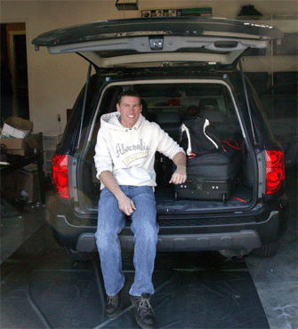
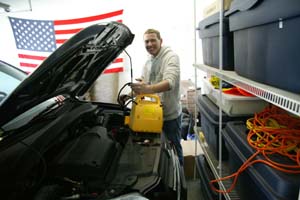
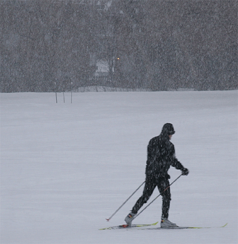
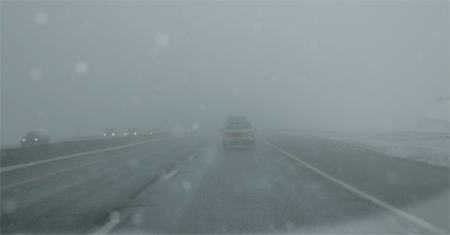
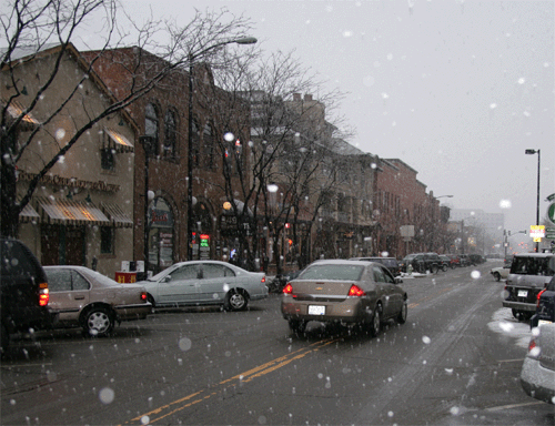
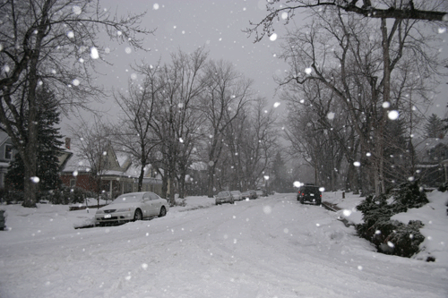
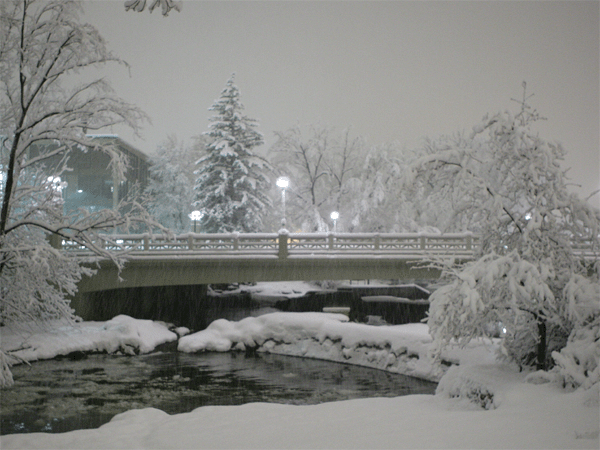
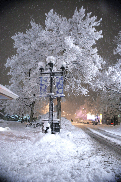
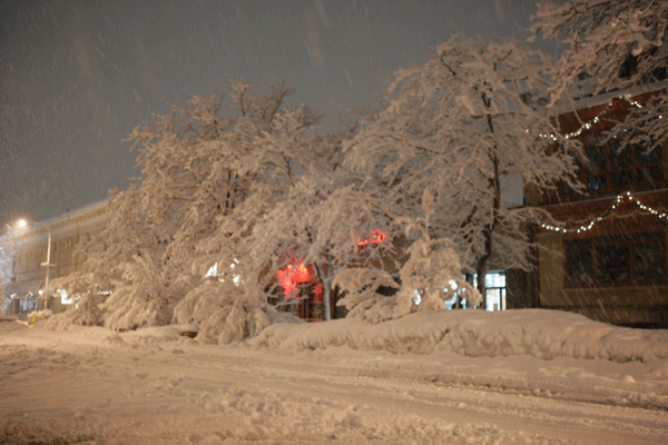
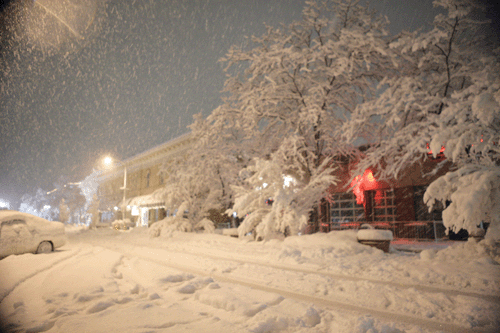
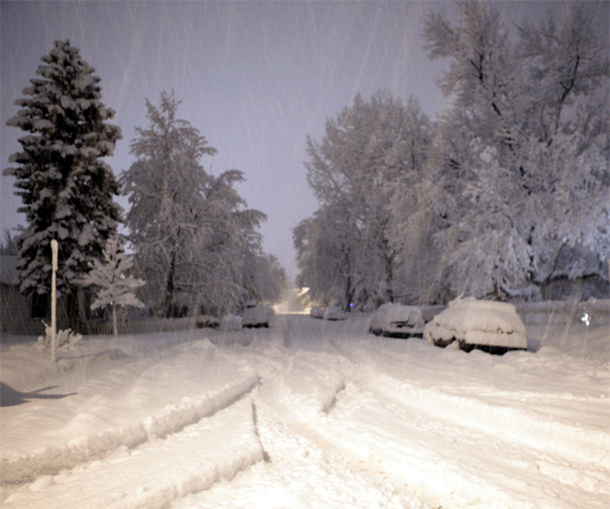
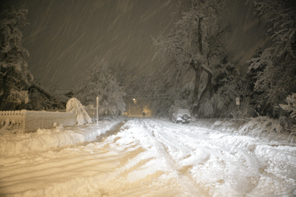
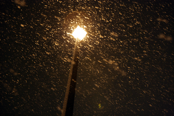
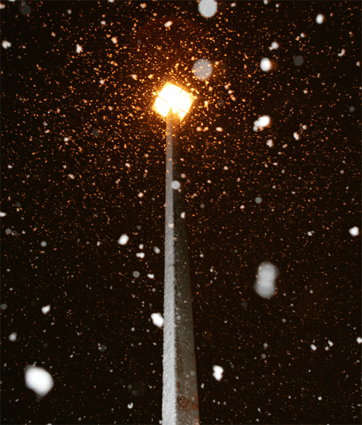
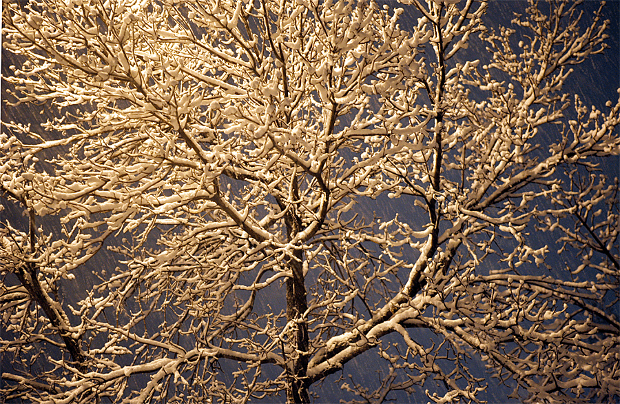
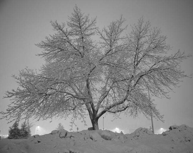
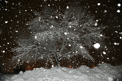
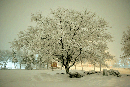
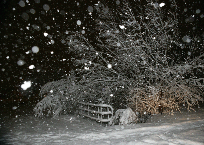
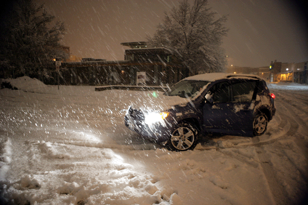
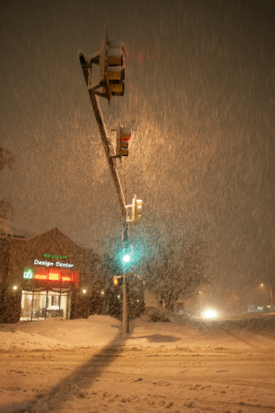
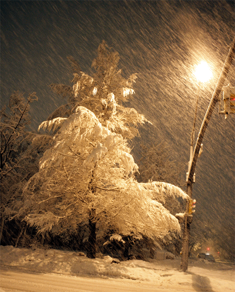
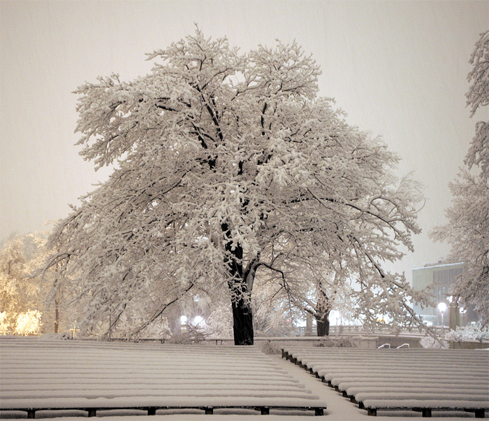
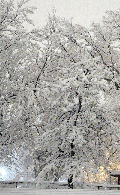
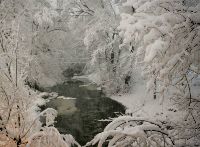
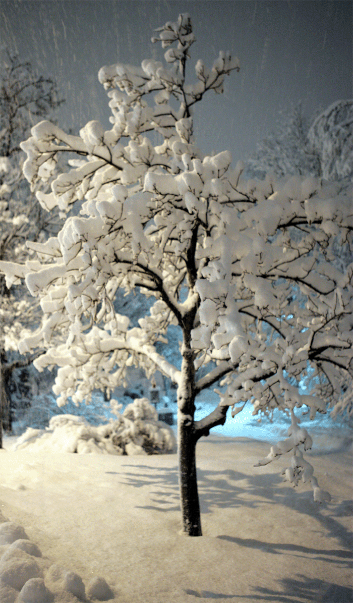
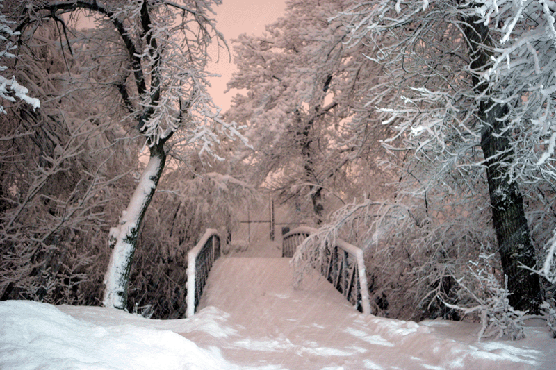
ALL PHOTOS TAKEN BY BEAU - on this page


AND THIS IS WHY I LOVE SNOW


AND THIS IS WHY I LOVE SNOW


AND THIS IS WHY I LOVE SNOW


:) :) :)


Bicycle Built for Snow :)


Downtown Boulder


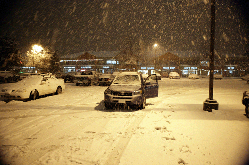
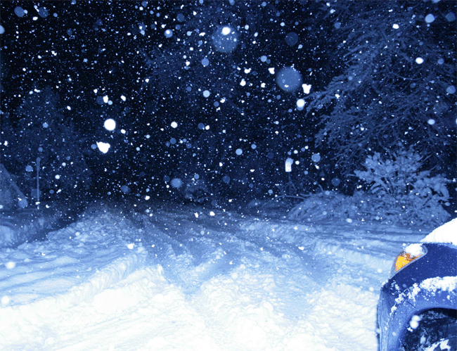
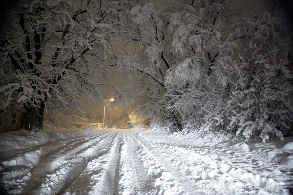
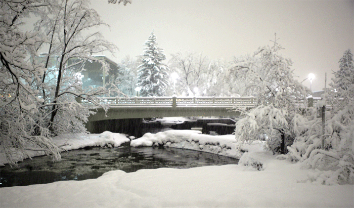
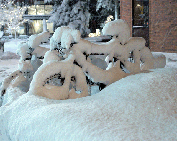
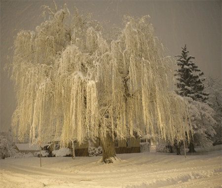
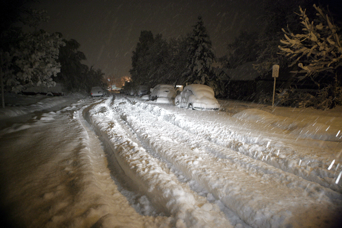
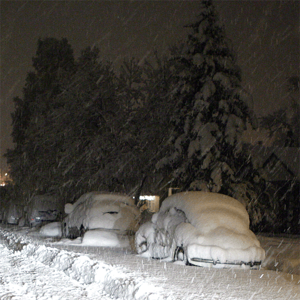
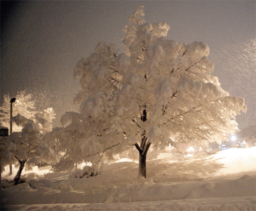
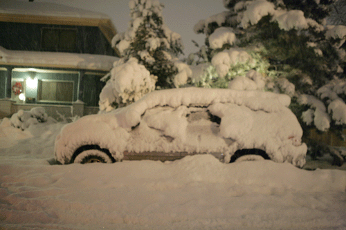
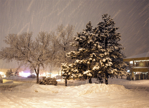
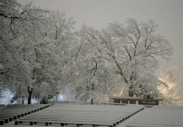
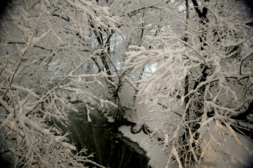
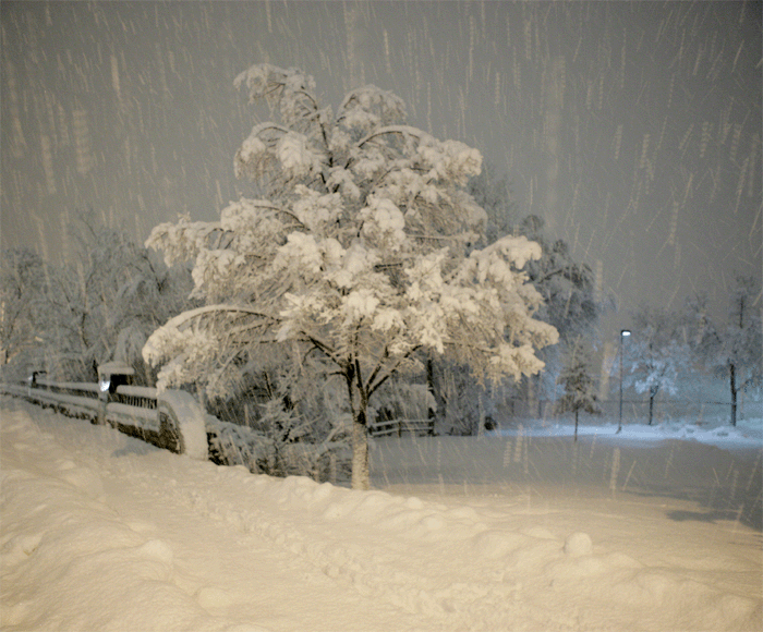
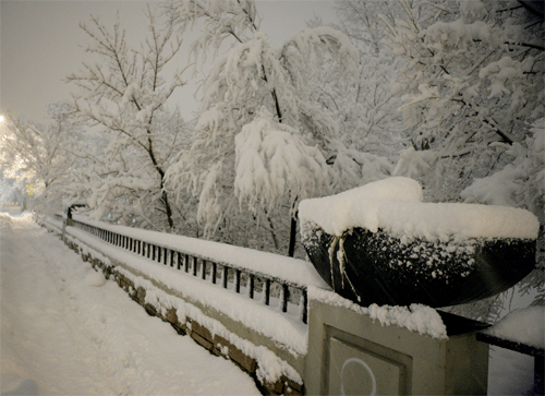
Snow getting very deep right before I finally came in...got to be a bit too dangerous out there


VIEW  FROM MY WINDOW THIS MORNING


More Colorado Snow Photos TURN THE PAGE CLICK HERE


------------------------------------------------------
  
------------------------------------------------------

LIVE: VIEW 
FROM ATOP BEAU'S HOUSE
 

------------------------------------------------------
------------------------------------------------------

MAILING ADDRESS

BEAU DODSON
465 Ashcreek Road
Paducah, Kentucky
42001
-

Phone Number
Home 270-554-6715
Cell 270-970-1202

Email beaudodson@hotmail.com


Hit Counter