The following event occurred on Friday, Sept 22, 2006
The approximate time of the event was 3:40 p.m.
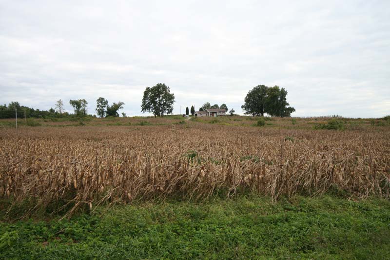
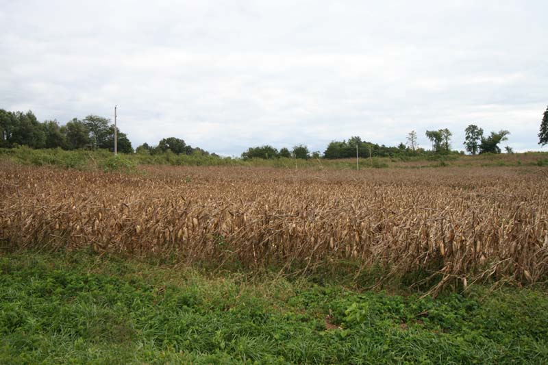
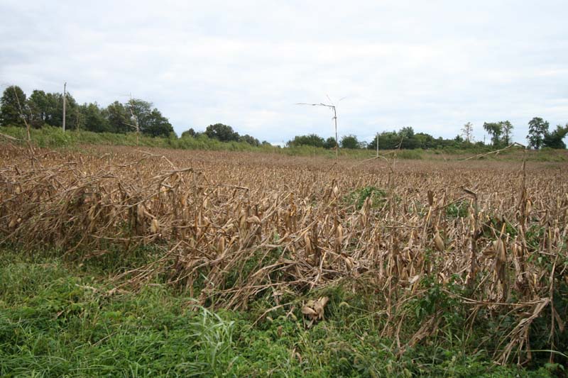
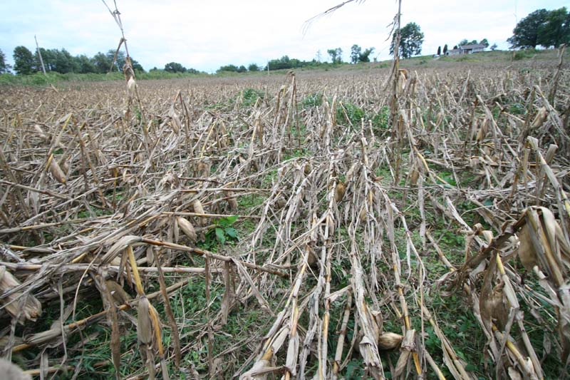
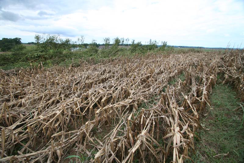
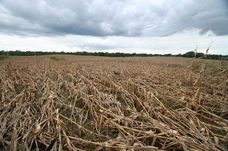
Microburst...estimated winds of 60 mph
Damage Loss - unknown
Event was in a fan shape that extended approximate 0.75 mile from the
south/southwest towards the north and northeast.
The damage path was about 0.25 mile wide at the widest point. Corn on
sides of this damage was basically untouched.
The winds spread out in a cone shape fashion...small area at the beginning and then a wide area at the end. Corn stalks were fanned towards the northwest and then as you moved east in the damage path more towards the east. A fan shape.
Property owners said that this event happened shortly after the tornado warning for Massac County (second one for the whole county). He said there was a loud roar. He noted that the neighbors corn fields were untouched. He also reported marble size hail after the wind hit.
The following photos were taken by Beau Dodson
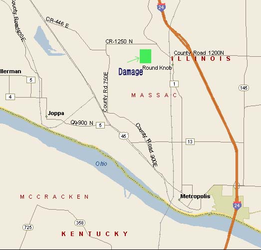
The location of the event can be seen below on the map of Massac County