http://www.theweatherprediction.com/habyhints/127/
| WHAT IS A "NEGATIVELY TILTED TROUGH"? |
METEOROLOGIST JEFF HABY
In forecast discussions you will come across the terms positive, neutrally
and negatively tilted trough. When a trough is positive or neutrally tilted it
is usually not referenced at such. However, when it becomes negatively tilted it
will be referenced as such. The tilt of a trough is the angle the trough axis
makes with lines of longitude. A negatively tilted trough tilts horizontally
(parallel to surface) from the northwest to the southeast. What is the big deal
about having a negative tilt?
(1) indicates a low pressure has reached maturity,
(2) indicates strong differential advection (middle and upper level cool air
advecting over low level warm air advection). This increases thermodynamic
instability.
(3) Indicates good vertical wind shear.
A deep low pressure, a negatively tilted trough, and a warm and moist warm
sector combination east of the Rockies often produces a severe weather outbreak.
What causes the negative tilt?
(1) Strong middle and upper level winds wrapping around the base of the trough,
(2) A strong jet streak near the base of a trough
(3) A ridge to the east of the trough (like a sideways inverted trough)
(4) Occlusion of low pressure.
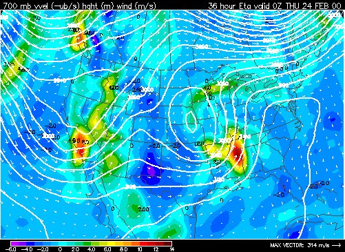
The image below is that of a negatively tilted trough located across the
Southeast U.S. Notice the trough tilts from the NW to the SE and wind speeds are
highest within the negative tilt.
METEOROLOGIST JEFF HABY
The best chart to use when examining the trough / ridge pattern is the
500-millibar chart. As you know, troughs are synonymous with cooler than normal
temperatures while ridges are synonymous with warmer than normal temperatures.
Troughs can be tilted in one of three ways which include: positive tilt, neutral
tilt, and negative tilt. In the Northern Hemisphere, a positively tilted trough
tilts from the northeast toward the southwest, a neutrally tilted trough tilts
from north to south, and a negatively tilted trough tilts from northwest toward
southeast. As a mid-latitude cyclone develops, it tends to begin as a positive
tilted trough and end as a neutrally or negatively tilted trough.
The atmosphere is most unstable when a large trough in association with a strong
mid-latitude cyclone becomes NEGATIVELY TILTED. Why? Because on the right side
of the trough, the negative tilt causes cold air advection in the upper levels
of the atmosphere while the PBL is warm and humid (especially if this situation
occurs east of the Rocky Mountains in the fall or spring). Cold air above warm
air creates thermodynamic instability and convective instability. A strong jet
streak can cause a trough to become negatively tilted and contributes to dynamic
lifting. It is the jet stream and jet streaks that are responsible for causing
troughs to become more amplified or less amplified. The jet streaks also
contribute to the tilt of a trough. Look at the 500-mb chart each day and see if
the troughs over the U.S. are highly or weakly amplified and positive, neutral,
or negatively tilted.